Menu
3D Laser Scanning For Facility Design Modifications
Results:
Point Cloud with Panoramic Photos UAV LiDAR Point CloudTechnology:
LiDAR Terrestrial Scanning Post-processing scansTime devoted to the project:
Field Work – 5 days Office Work – 1 week Total Time – 2 weeks
Project objective
Restoration of the executive documentation for subsequent modeling and modernization.
About the object
Cargill in Ukraine is engaged in the production and trade of grain and oil seeds, sunflower, and soybean seed processing. The company has its own production of feed, premixes, and feed ingredients for all types of farm animals in the Lviv region.
Work results
View of Cargill from above
Point Cloud of the facility
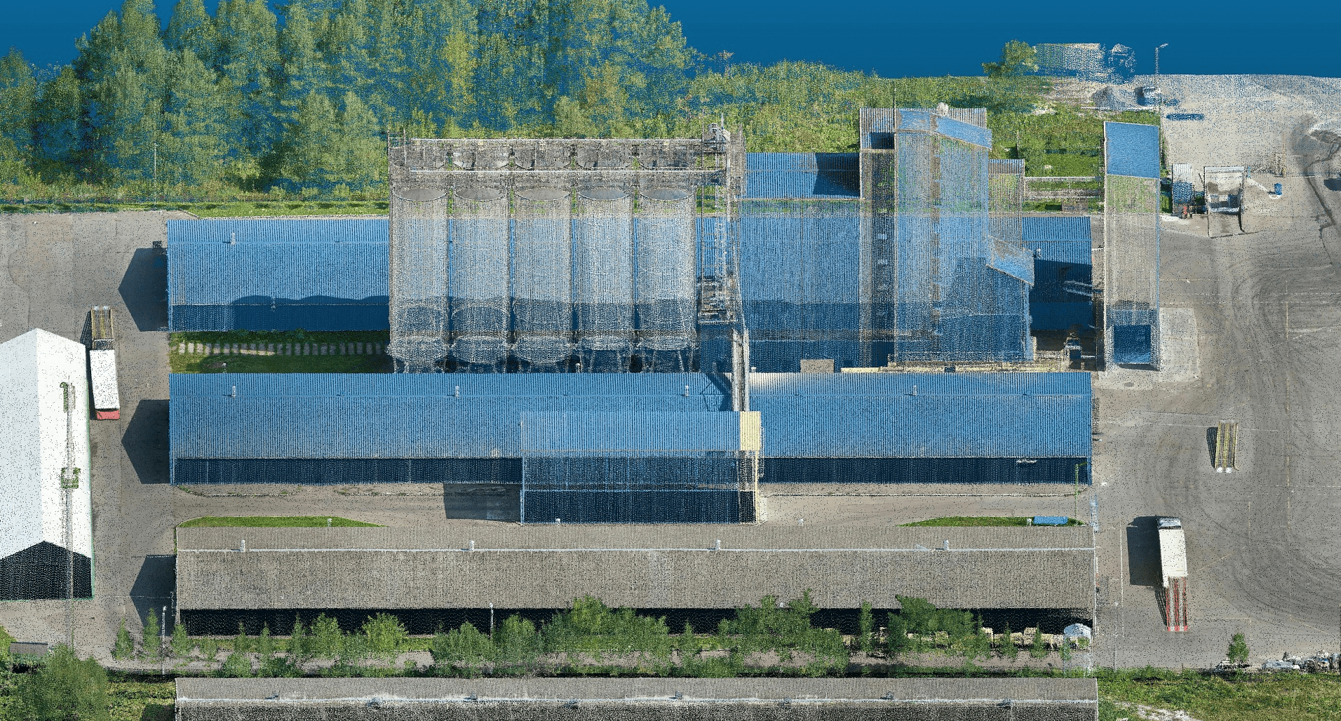
Point Cloud of the facility

